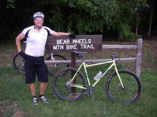
There are about 8 miles of trail with more in the works.
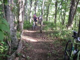
Stanley leading the ride. I never get to see him from the front at a race!
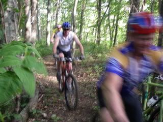
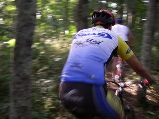
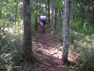
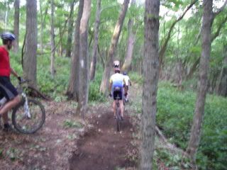
Andy the giant
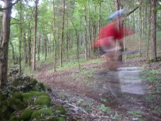
Andy was nice enough to send me a GPS file overlaid on a map but I had trouble with the file. I'll try to get him to resend.
As you can see, Stanley had been refining the trails some just before we rode.
The trail winds back and forth acroos a ridge gradually climbing until it dumps you onto the ridgecrest. Once it hits the ridgecrest the real climb starts. There is a great reward though, a 2 mile downhill at the end. These guys have built a great trail and it is getting better.
I'm not sure this is a destination ride yet with only 8 miles of trail but, if you are heading to Nashville it would make a nice stop. If you do a couple of laps you'll get all you want.
http://sorbachattanooga.org/trails/trail_guide.php?state=TN&trail=162


2 comments:
After rereading this I thought you might think the trail is in West TN. It is just outside of Carthage, TN which is about half way between Cookeville and Nashville.
sweet, since I travel to Nashville often, its good to know about a new trail!
Post a Comment